Mt. Kilimanjaro
As wide as all the world, great, high, and
unbelievably white in the sun, was the square
top of Kilimanjaro. – Hemingway, Snows of Kilimanjaro
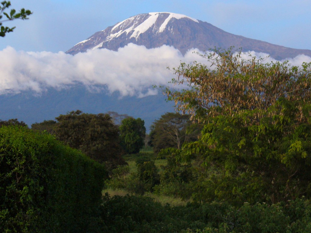
Kilimanjaro. The roof of Africa. One of the globe’s largest volcanoes. The highest free-standing mountain in the world. 19, 343 feet above sea level. Contrary to its name Mt. Kilimanjaro is not small. (Kilima njaro roughly translates to small hill of God).
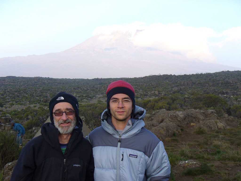
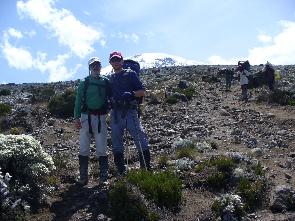
My father and I spent 8 days climbing up and down the beast. We opted for the scenic/long/difficult Lemosho route. The major advantage of the Lemosho route is that it gives your body more time to adapt to the altitude before summiting, (other routes take around 5 days). The disadvantage is that the route is much, much longer than other ones. Altitude sickness is no joke, causes a number of deaths every year on the mountain, and is the major reason people fail to summit. Of the roughly 30,000 people who attempt Kili each year, less than a third make it to the top… mostly because of acute altitude sickness. So, Lemosho may have been longer and physically more strenuous, but by keeping us on the mountain longer it probably helped us a lot when we got to the higher altitudes.
Day 0 – Prep:
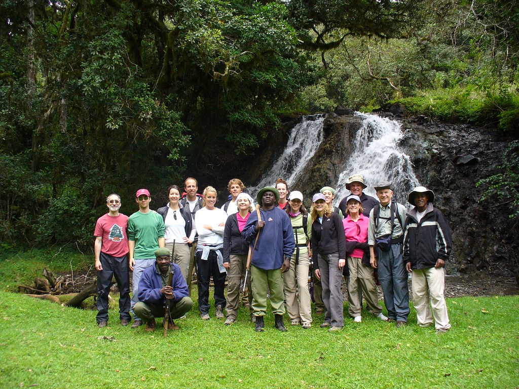
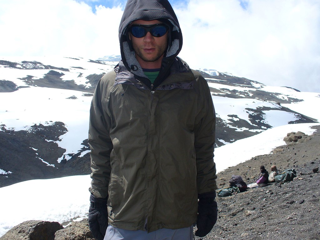
Our group consisted of 14 climbers, (mostly Americans), a handful of guides, and a small army of porters. First thing I noticed at base camp was the cold. It was in the 60s. I’m sure I made a great impression on everyone during briefing as a I sat there shivering in the huge, puffy winter coat my father had brought me from home while everyone else was doing fine without jackets at all. Second thing I noticed was the English. People were speaking it. Not as in “hello Mr. Whitey, give me money” or “good morning, how are you? I am fine!” English, but actual American English.
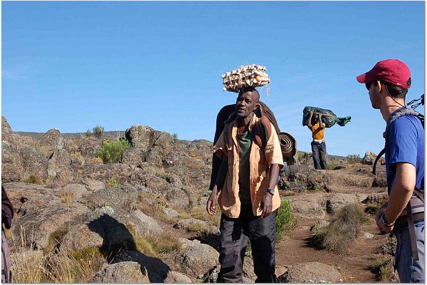
(Notice the guns. Elephants sometimes charge hikers in the lower elevations, so the guns are for protection. I was a bit skeptical on whether or not they even worked, as they looked straight out of WWII. Seriously, I swear I remember seeing some German soldiers carrying them in Saving Private Ryan.)
It was also weird at first being around so many people who had just been in America. I felt kind of out of place. I had to hold myself back a bit from bombarding everyone with questions about life back in the Motherland.
The guide service we used was fantastic, providing all of our meals and carrying all our food and sleeping gear. Over the hike I’m the only person there I’m pretty sure who GAINED weight. Burned around 4,000 calories a day, and I still gained weight. Compared to life on the Island, Kili was a vacation.
Day 1 – The forest:
In the morning, we rode to the trail head. On the way, we passed the sites of a few villages inside Kilimanjaro National Park where the residents had been moved out by the Park authorities in view of the effect on the environment. It was sort of eerie going though what effectively were now ghost towns. Hurray for conservation!
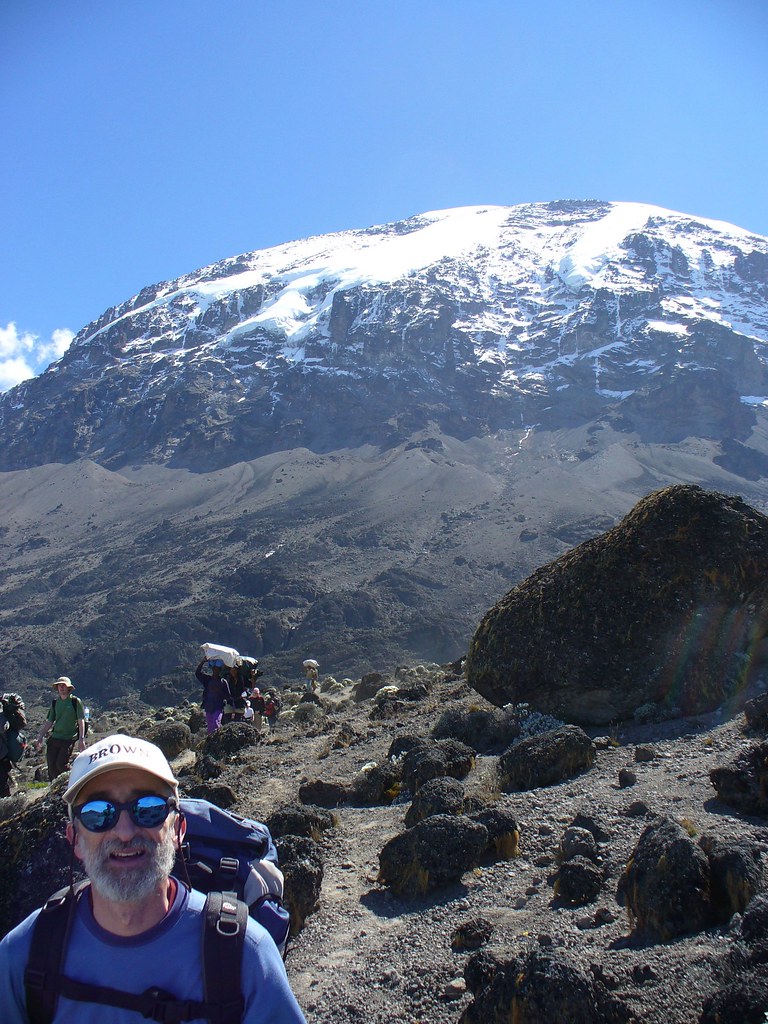
We approached the mountain from the west. Kili is made up of three volcanoes. From the west – Shira, Kibo and Mawenzi. Shira is the oldest and Kibo the youngest. Uhuru Peak, the highest part of Kilimanjaro, is part of Kibo. Our route took us across the remnants of Shira, (which is now largely a plateau filled in with lava from the Kibo eruption), then headed east around the southern wall Kibo, and then up Kibo to its crater and peak.
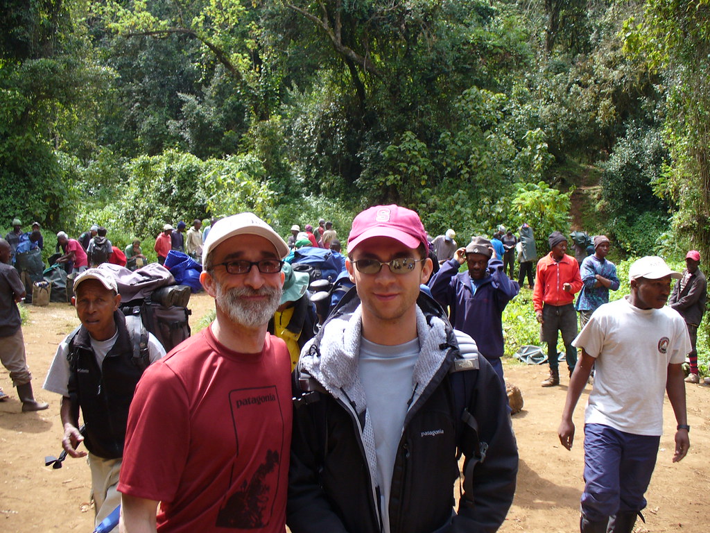
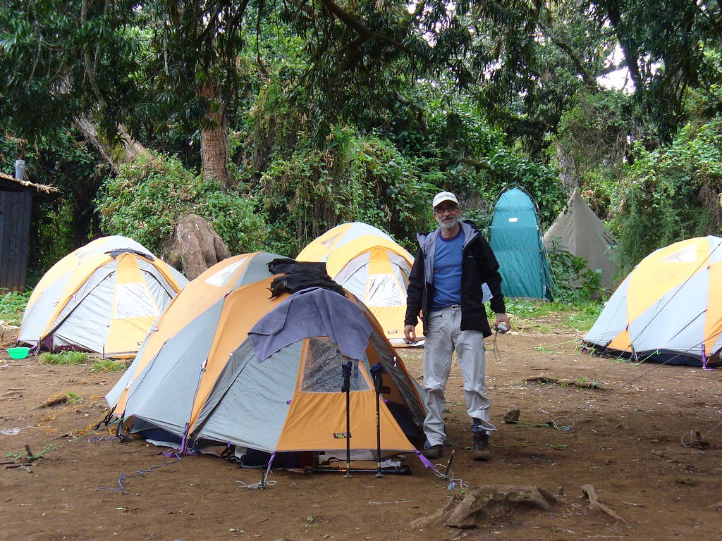
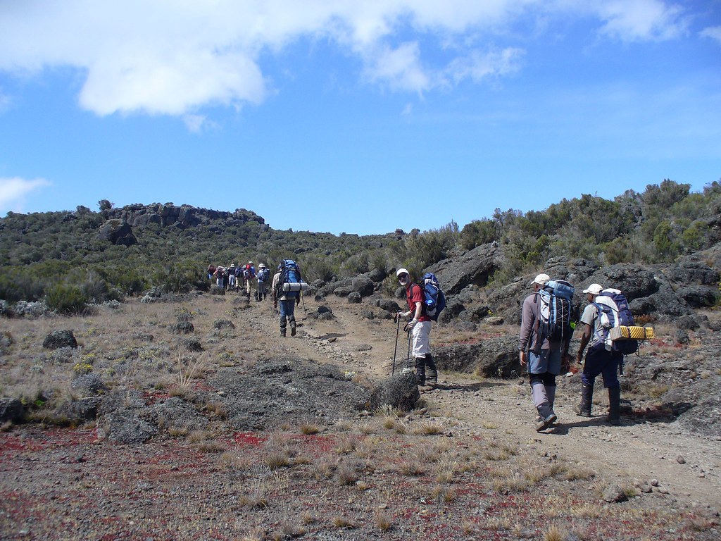
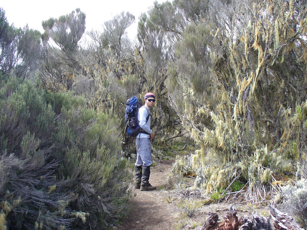
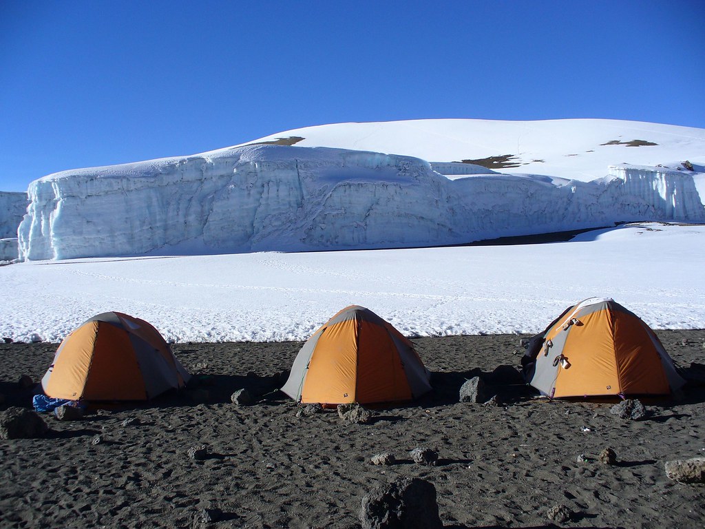
At the trail head, the guides, cooks, porters and climbers assembled. It was quite a crew. We hiked for several hours up to 9,000 feet through thick forest. It reminded us a lot of the Maine forest in its density but, of course, it was tropical. That night we stayed at Mti Mkubwa camp, (which means Big Tree). This was the first night we slept in our small two person tents – they were cozy and the sleeping bags were very warm.
Day 2 – Onto the Shira plateau:
Goo goo g’joob.
Today, we hiked from 9,000 to 11,400 feet. We made our way through the forest and out onto the moorland of the Shira plateau. Shira used have its own peak until it exploded catastrophically thousands of years ago, leaving a massive crater. Sometime later Kibo had an eruption, and the Shira crater filled with the flowing lava. Result: plateau.
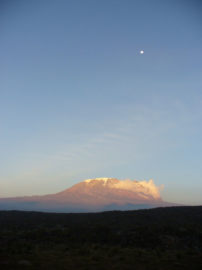
At the Shira camp we had our first glimpse of the summit. It was big and it was far, but we were all too mesmerized to be entirely intimidated. That night, the almost full moon made Kili seem to glow.
Tonight we started to take Diamox, which supposedly helps with acclimatization. Unfortunately it is also a severe diuretic, and thus my dad began his five-times-a-night treks outside the tent. I slept well except for one of the last nights, which I’ll get to later.
Shira seemed very cold to me, getting down into the upper 40s at night. It never gets below the high 70s, (and even those are a rarity), at my site. High 40s were not fun for me. It was here that the loving relationship between me and my big, friendly coat ol’ Mr. Puffy truly blossomed.
Day 3 – Across the Shira:
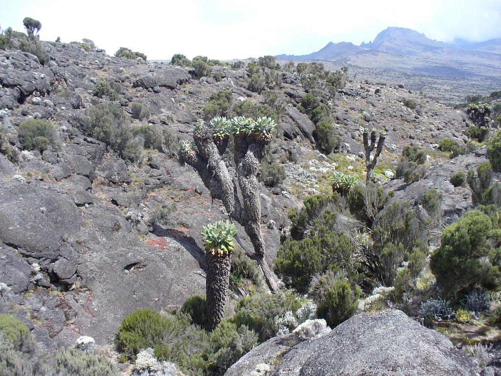
We hiked from 11,400 to 13,500 feet, spending most of the time on the heath in the crater of the Shira volcano. We could see the remnants of the rim of the old volcano in the distance, and could see just how big these volcanoes were. Today was a long day of hiking. What was surprising was seeing flowers and trees, (albeit really gnarly ones), up this high. In the U.S. nothing grows at this height. Indeed, in Maine there is nothing at this height.
These trees were weird.
By the time we arrived at camp, a number of us were starting to feel the effects of the trek. At this point the altitude started to affect some of our group, with a couple of people feeling nauseous and having headaches. My pops and I were doing ok with the altitude so far, although the dust of the trail was starting to get to us, causing sinus headaches and making for very disgusting results when we blew our noses. Also, we all seemed to be getting the Kili cough, caused by the dry, cold air.
Day 4 – The lava tower:
At this point we were to the southwest of the peak. To actually reach the summit requires approaching from the east. Today began a two-day journey around the southern wall of Kibo.
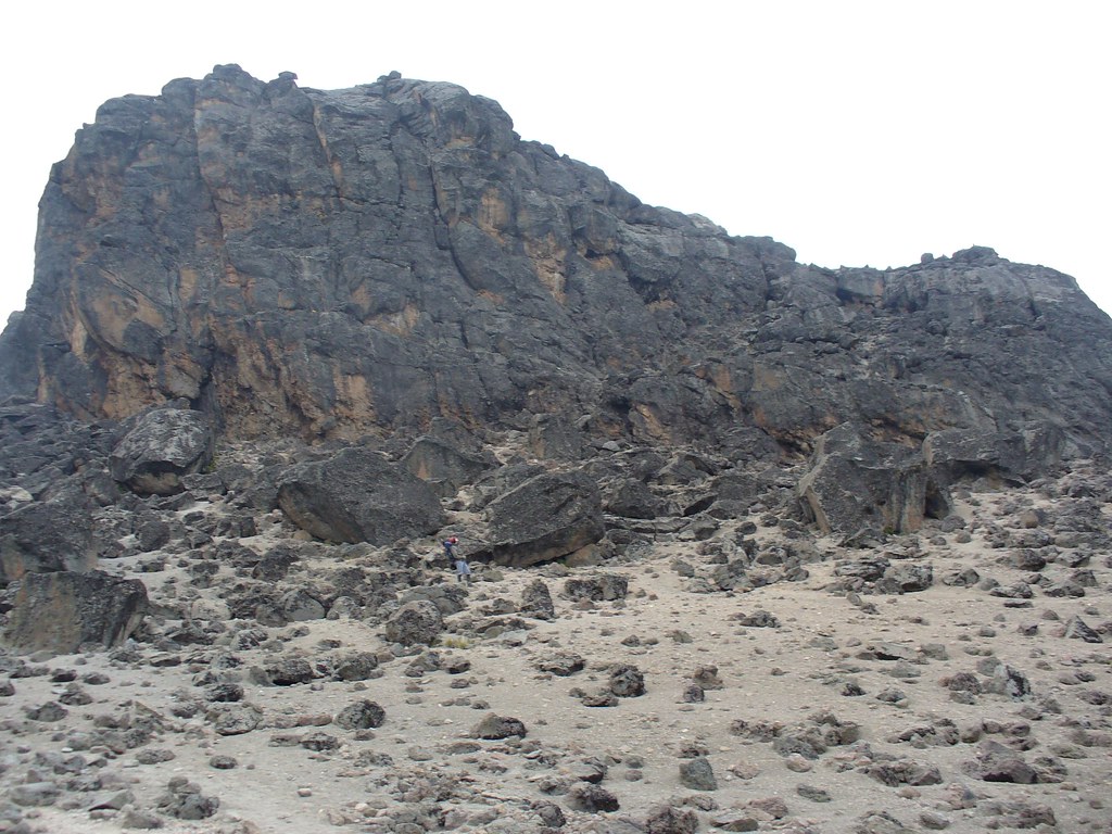
To acclimatize, we climbed to 14,500 feet at the lava tower, and then went back down to 12,900 feet to camp at Barancu. The lava tower is a 500 foot hunk of, as you would expect, lava. It was optional to climb it. As our plan was to make it to the top of Kili, and not the top of the lava tower, we declined. We wanted to conserve energy and avoid any injuries. My dad has this way of hurting himself doing unnecessary things.
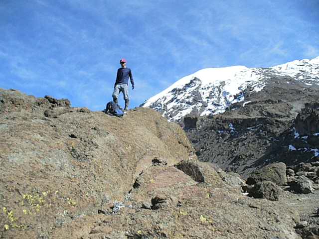
If you look closely at this photo you can see a person with a red hat. I am smaller than the lava tower.
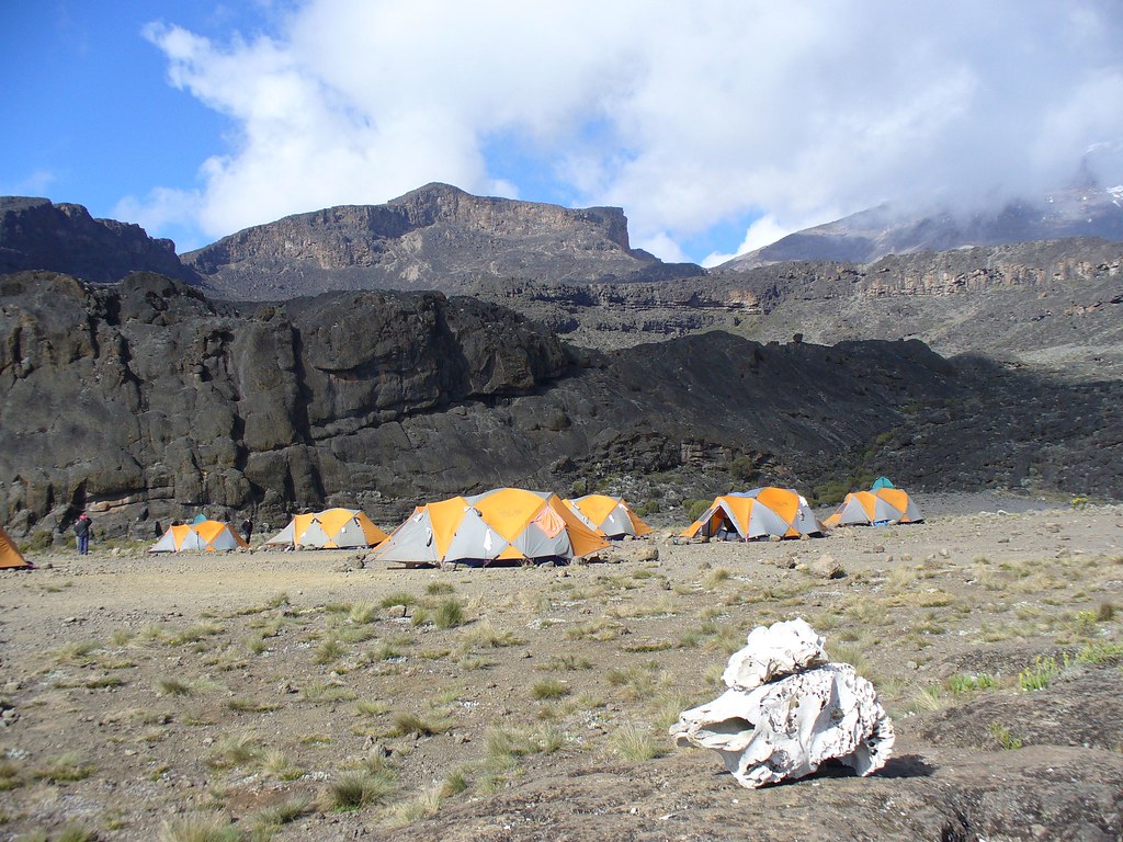
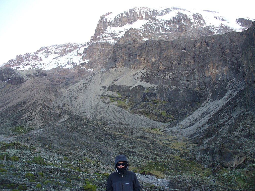
Barancu camp was cripplingly cold for me. The temperatures we experienced later near the peak were ostensibly colder, but the coldest I felt during the whole hike was at Barancu. Our camp was right in the middle of the cloud line. Cold is bad, but wet cold is the worst.
On a tragic note, Barancu marked the last camp where we were able to clean our teeth. It seems we misplaced our toothbrush bag during packing up, and as a result we went through the rest of the hike without brushing. It was a gross couple of days in the end there…
Day 5 – Two brains, one mind:
The next two days were the toughest. From Barancu to the next camp, Barafu, is a long up-and-down hike, ending at a little above 15,000 feet. Barafu means snow, and at one time there may have been a lot of snow there. No snow now though, thanks to global warming.
Reaching Barafu Camp took seven hours of hiking with only a few thousand feet of net gain. This stretch of the hike was particularly difficult, because we would get up to over 14,500 feet, and then go back down to less than 13,000 feet – repeatedly. In the end, although overall we gained over 2,000 feet in altitude, we probably climbed up well over twice if not three times that much because of all the up-and-down ridges.
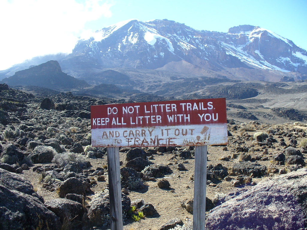
Seems like hating on France is an international sport. (No, my dad and I didn’t write this.)
At Barafu, we came to realize neither of us was thinking very well, due to the altitude. But between us, we figured we had one good mind, so agreed to stick together and make sure that any important decisions be made together.
Day 6 – To Uhuru Peak
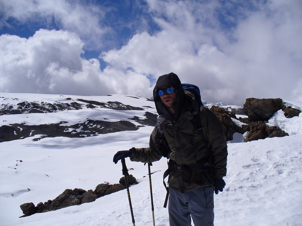
From Barafu camp on it was constantly very cold. The altitude was also beginning to give us some headaches and stomach problems. When we set out at 5 a.m., it was less than 30 degrees. I was frozen and miserable.
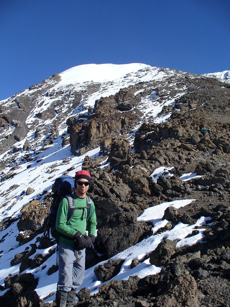
The plan today was to climb 19,000 feet to Stella Point (the rim of the crater), and then descend into the crater to camp for the night before summiting the next day. It was a slow climb to the top, and the altitude was really getting to us. We were hiking on volcanic ash now, so every two steps we’d take we slid back one. It was a tough day.
We split into two hiking groups. Our group reached the rim in mid-afternoon, and as noted above the plan was to go down into the crater rather than the peak. The peak, however, was only 500 feet above us, an hour’s hike away along the snow-covered rim.
There was a discussion with Mahena, the assistant guide, as to whether we could go up now. Some of us decided to go for it, as the altitude was starting to really get to us, and we were concerned about how we would feel the next morning.
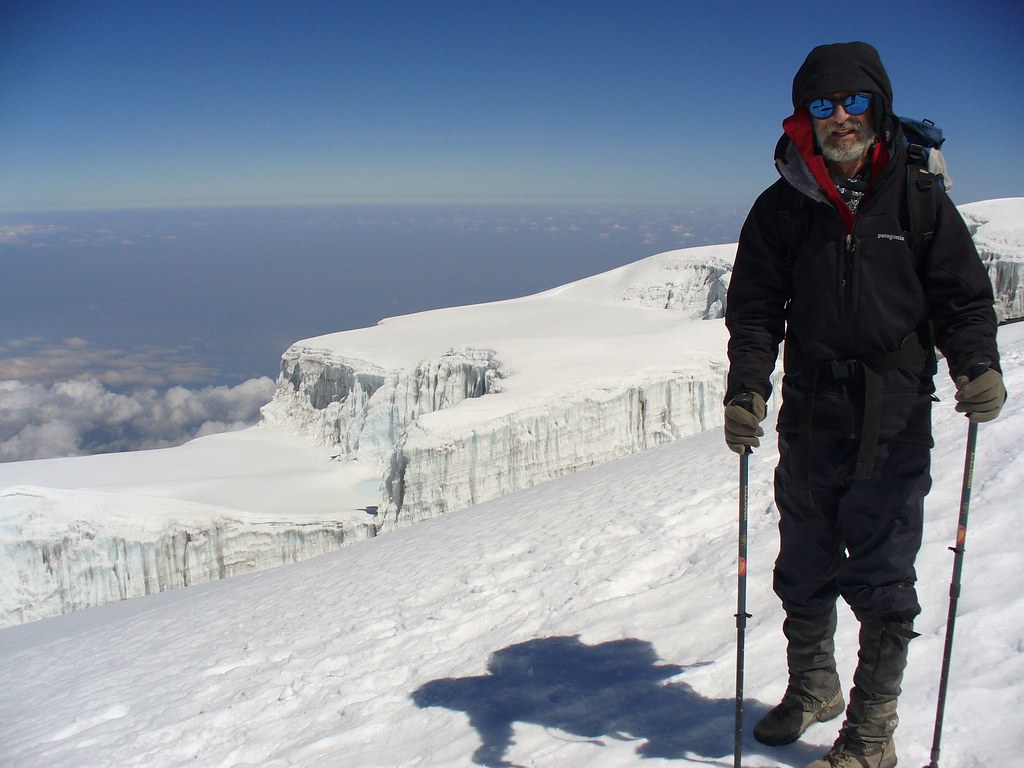
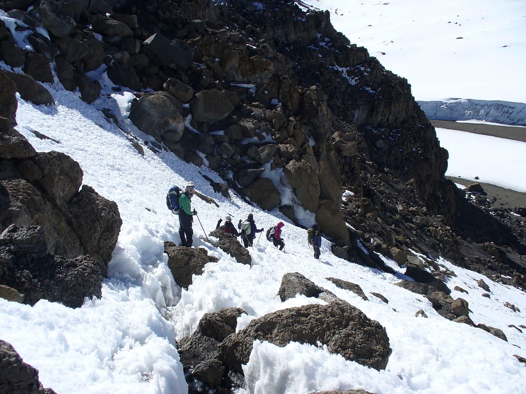
The oxygen was really thin, and we were all sucking air at this point. We had to stop every few minutes to catch our breath. The views from the ridge were spectacular though, with a snowy crater to our right and massive glaciers to the left.
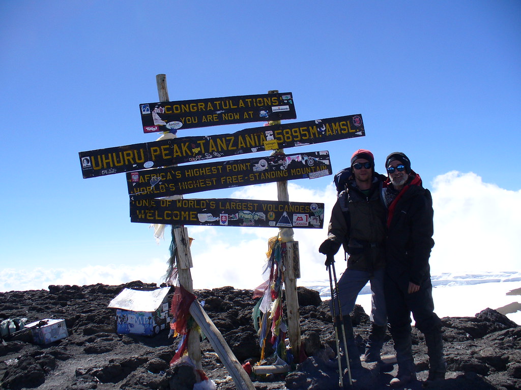
My dad and I were beyond excited as we approached the peak. We made it. On the top of Africa. It was great, but even greater because we made it together.
The view was grand, and we felt grander.
After hugs and pictures all around, we headed down to Crater Camp.
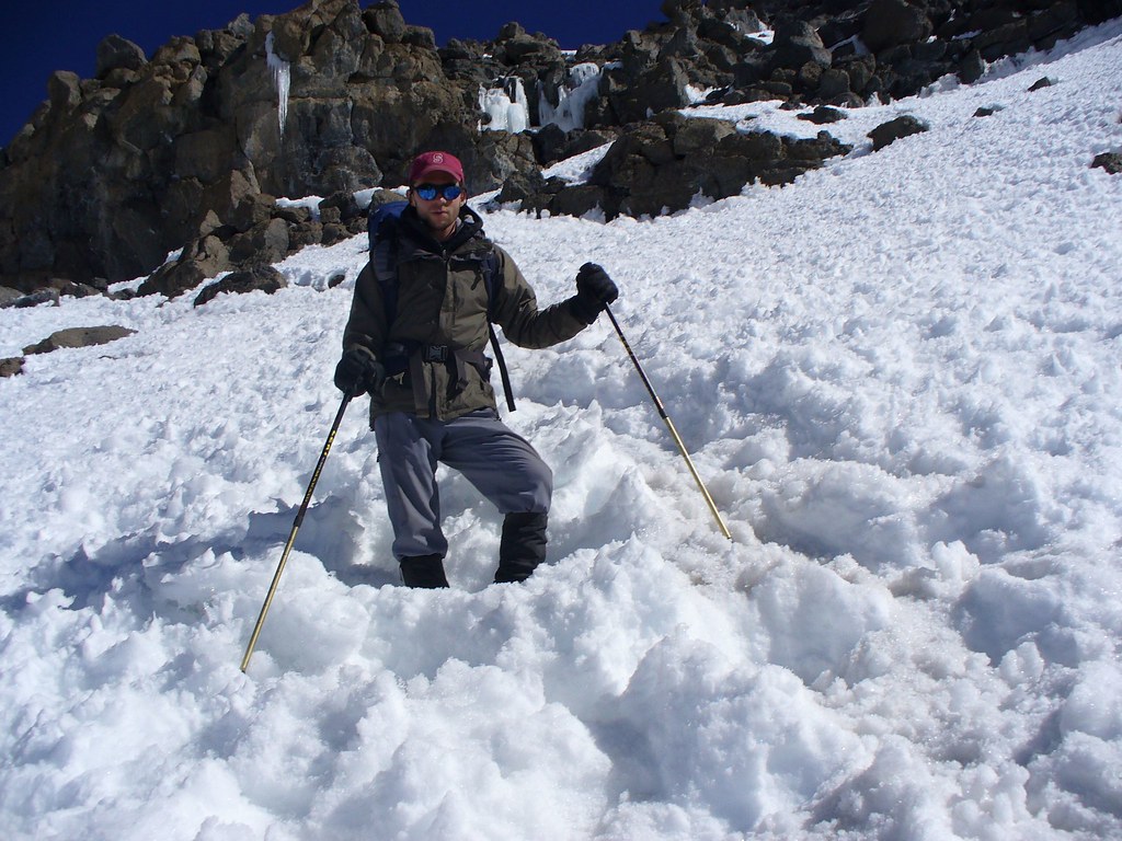
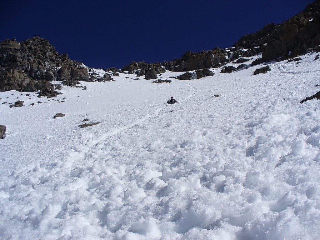
Part way down the snow had a bit of a clearing, and being true Mainers we saw this as an opportunity to sled down on our butts. (And speaking of Maine, if you look really close at the above summit picture, you’ll spot a Sugarloaf sticker on the sign. Those things really do find their way everywhere don’t they?)
My dad had no problems, but unfortunately I had left my Gore-Tex pants in my pack. As a result my ass got completely soaked. I paid the price for my fun… big time.
We made it down safely to the camp, which was breathtakingly situated right in front of a glacier.
Dinner that night felt particularly good, though it was hard to eat due to the altitude of over 18,000 feet. My dad and I had splitting headaches, and the nausea came on fast. During the night, I became VERY sick, and had a hard time sleeping. But hey, at least now I get to claim that I threw up on a glacier on Kilimanjaro. Not bad, eh?
Day 7 — Coming down
The nine who had not summited the prior day got up at 4 a.m. to head up. Inside our tent it was less than 10 degrees and my dad and I felt exactly like bad. We were more than a little glad we had opted to summit the previous day. We were able to “sleep in” until 6 a.m., and then went out onto the crater to head to the rim. We climbed up to the rim, then down down down.
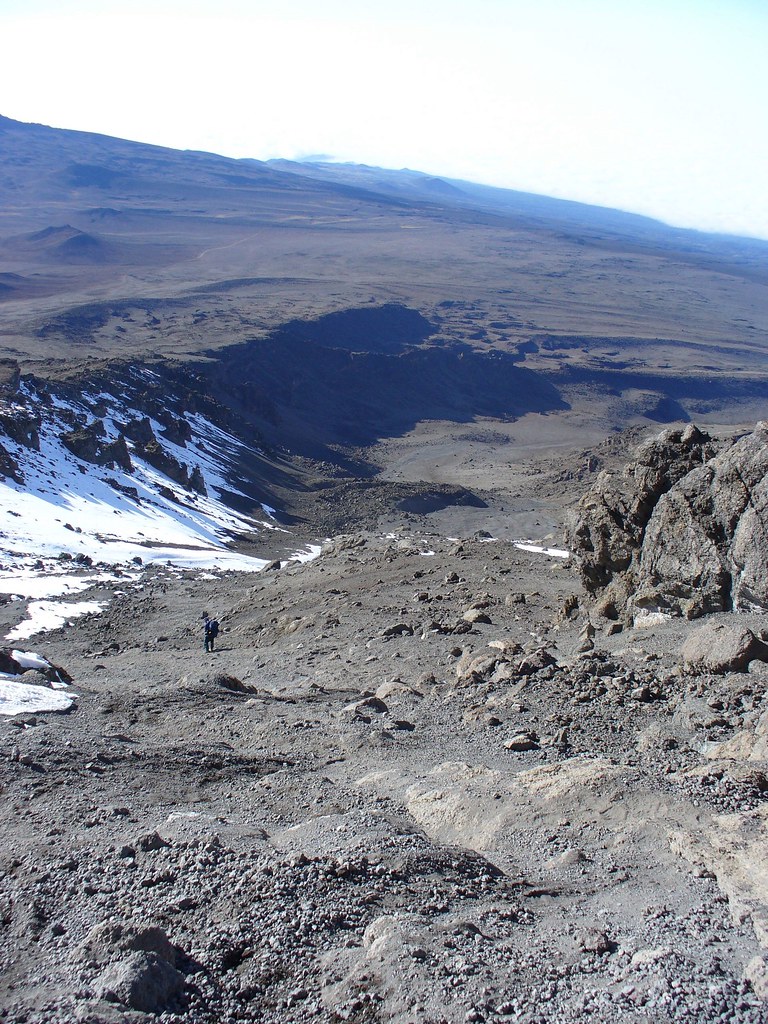
Today was a long day, from 19,000 feet all the way down to 10,000 at Mweka camp. On the upper part, we could really haul down the gravel and scree, almost like skiing. We really made good time, although I took a spill along the way, scratching up my arm and leg.
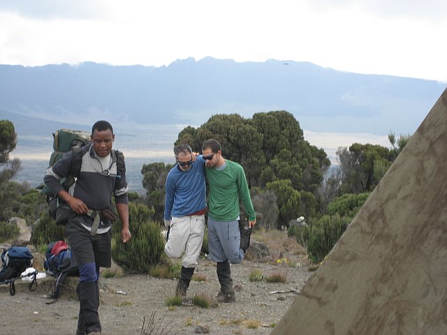
We lunched at Barafu, in the cold wind… probably the last time I’ll feel cold like that until I return to America in a year. As we headed down, the increased oxygen made it feel like we were on steroids. The only problem we had was that at about 12,000 feet my dad’s left knee finally went out. The timing was fine as we had summited already and were most of the way down. He put a brace on it, and trekked down the rest of the way in pain. The guy’s a great sport, and he made it down ok. As he likes to put it, he’s an expert at feeling terrible.
Day 8 – Return to the World
The last day we trekked down from a little over 10,000 feet to the base. It was rocky, hard-packed trail through the forest and it rained most of the way. I stuck with my dad. We got a late start because of his knee, trailing the rest of the crew, but caught up to the back of the pack part way down.
It was great getting to trail head, tired but successful. We had not had showers or modern bathroom facilities for more than a week, and had not even been able to brush our teeth for four days. Getting to the hotel was amazing. Not quite as good as getting to the top of the mountain, but still damn good. We had a celebratory dinner before everyone went his or her separate way. We made some good friends on the hike and we hope to keep in touch. I ended up staying the night but my dad and many others headed out after dinner to catch a flight back home.
It was really hard for my dad and I to say goodbye again. We spent, quite literally, 24 hours a day together for nine days straight. Kilimanjaro was an experience neither of us will ever forget.